New GeoAI tutorial outlines building footprint extraction
A new GeoAI tutorial outlines an end-to-end pipeline for extracting building footprints from NAIP imagery, demonstrating how deep learning models can automate geospatial mapping.
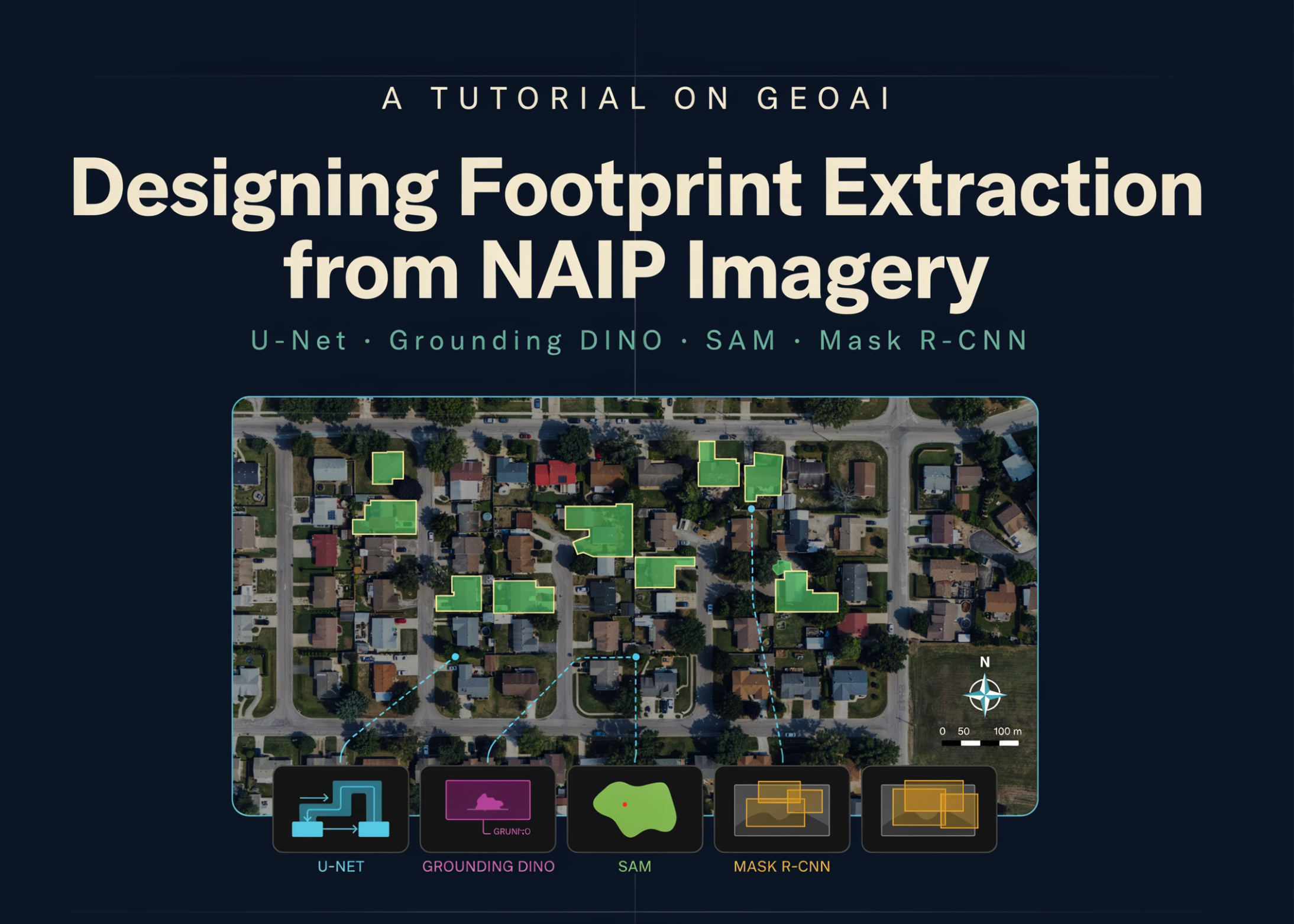
A newly published geospatial artificial intelligence tutorial details a comprehensive workflow for extracting building footprints from high-resolution National Agriculture Imagery Program (NAIP) aerial imagery. The pipeline guides practitioners through configuring a deep learning environment, downloading raster imagery and vector labels, and generating georeferenced image chips. The core of the workflow involves training a U-Net semantic segmentation model equipped with a ResNet-34 encoder, which is then evaluated using validation Intersection over Union (IoU) and F1 metrics.
Once trained, the U-Net model runs sliding-window inference on unseen test scenes to output prediction and probability rasters. To convert these raw predictions into clean, usable vector polygons, the tutorial applies geometric regularization and orthogonalization with an angle tolerance of 12 and a simplify tolerance of 0.4. Beyond supervised training, the guide explores zero-shot, text-prompted segmentation by combining the IDEA-Research/grounding-dino-tiny model with the Segment Anything Model (SAM) using prompts like 'building', 'house', and 'rooftop'.
The workflow also compares these results against a pretrained Mask R-CNN instance segmentation model using the building_footprints_usa.pth weights. This model's outputs are regularized using a minimum area threshold of 20 and an angle threshold of 15. While U-Net tends to merge adjacent rooftops, Mask R-CNN excels at splitting them into distinct instances. To demonstrate real-world scalability, the tutorial shows how to ingest NAIP imagery from the Microsoft Planetary Computer and retrieve corresponding building labels from Overture Maps.
For practitioners, this pipeline offers a highly adaptable foundation for large-scale infrastructure mapping and land-cover analysis. The tutorial notes that developers can easily swap the model architecture to DeepLabV3+ or utilize an EfficientNet-B3 encoder. It also supports four-band NAIP imagery containing both RGB and near-infrared data, as well as multi-class land cover classification using specialized loss functions like Dice, Focal, or Tversky loss to handle class imbalances.
This is our own summary of reporting by MarkTechPost