Google retracts AI tool for fake satellite images
Google hastily retracted a new Google Earth feature powered by its Nano Banana 2 AI generator after researchers warned that allowing users to fake satellite imagery would fuel disinformation.
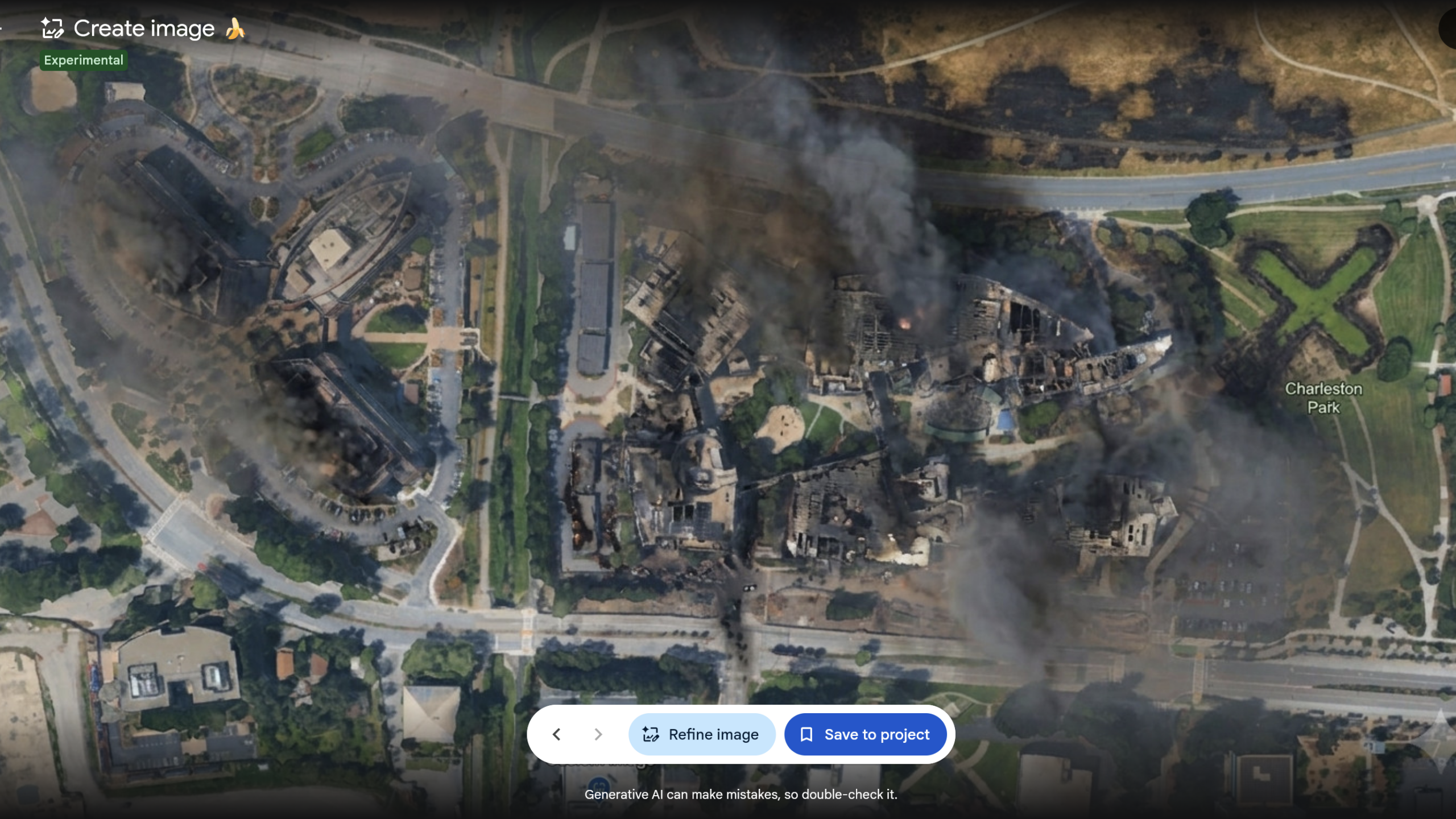
Google has disabled a newly launched feature in Google Earth that integrated the Nano Banana 2 AI image generator, reversing the decision just one day after its July 30 debut. The tool allowed users to modify authentic satellite, aerial, and 3D imagery using text prompts. While Google initially pitched the feature as a way to visualize historical sites like Pompeii in 78 CE or preview real estate developments, open-source investigators quickly demonstrated how easily it could be abused to fabricate realistic crisis events.
Researchers demonstrated the tool's dangers by generating fake scenarios, such as placing refugees at the Mexican border, depicting a nuclear facility in Iran, or showing a fatal car crash in Amsterdam. Critics like Bellingcat founder Eliot Higgins pointed out that the feature could easily undermine the credibility of satellite data. Previously, bad actors had to use multi-step processes with tools like Gemini to forge images, such as a fake strike on the US Navy's Fifth Fleet headquarters in Bahrain. The new integration reduced this process to a single prompt completed in seconds.
Google defended the tool by pointing to its SynthID watermarking system, which embeds digital identifiers in AI-generated content. However, testing revealed significant vulnerabilities in this defense. SynthID checks are limited to about 10 per day, and the watermark fails to register when an image is captured via a smartphone camera off a screen. This is a critical flaw, as real-world disinformation typically spreads through degraded formats like screenshots and re-encoded files rather than clean, original uploads.
For geospatial analysts, journalists, and open-source researchers, this incident highlights the growing fragility of visual evidence. Had the feature remained, it could have allowed bad actors to dismiss genuine satellite photos as AI fabrications. To maintain verification integrity, practitioners must now diversify their verification workflows, relying on alternative, unmanipulated data streams such as Europe's Copernicus Sentinel-2 satellite system to cross-reference and validate geographical imagery.
This is our own summary of reporting by Ars Technica AI